Project
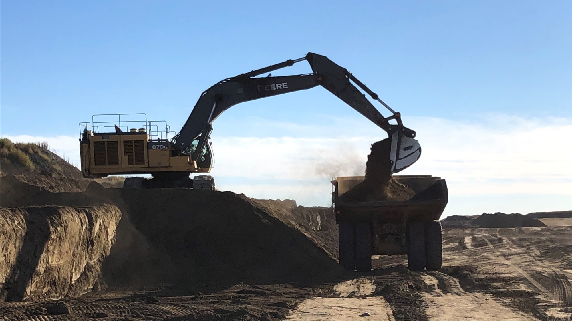
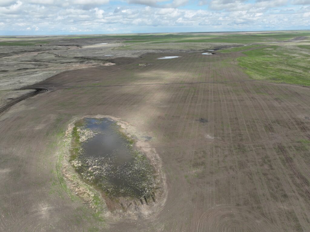
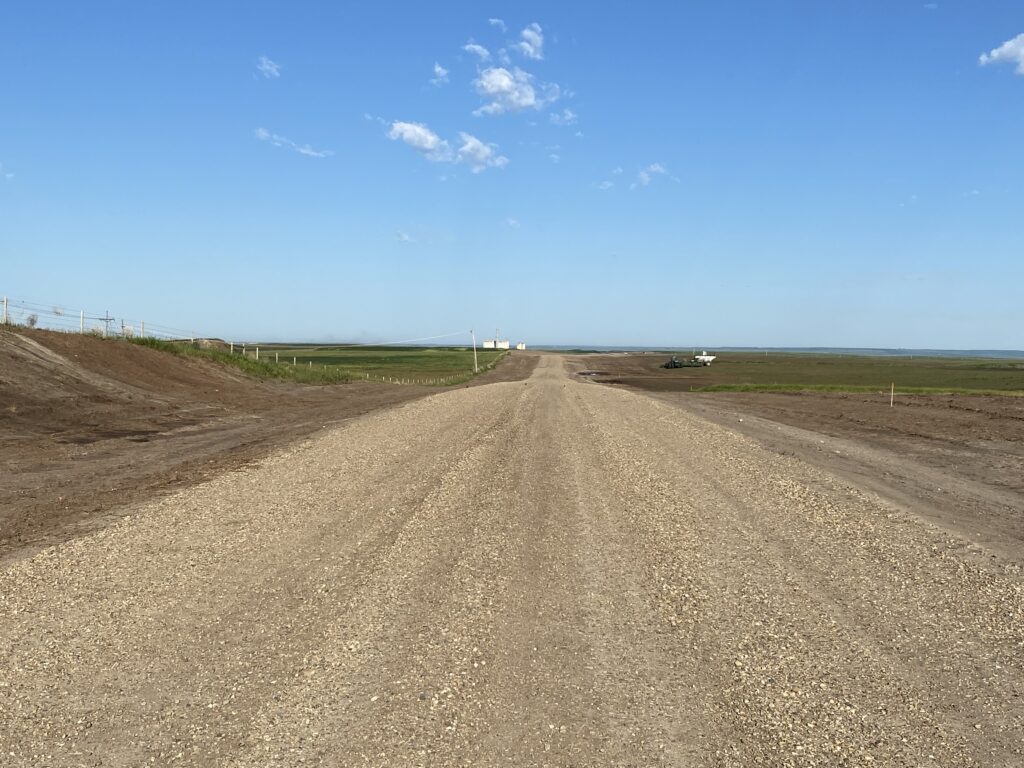
The Sheerness Mine required over 1,000 hectares of topsoil to be placed at a regulated thickness over a four-year period, in accordance with its Environmental Protection and Enhancement Act (EPEA) Approval.
Solution
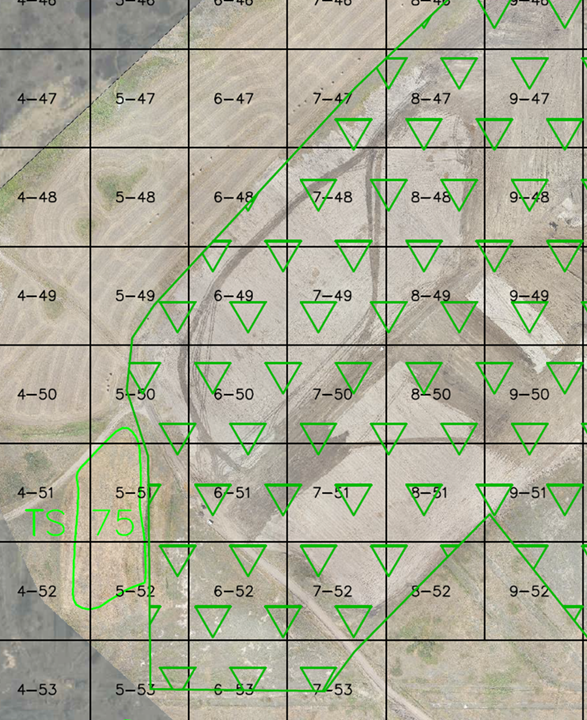
Using a comprehensive site map detailing topsoil placement requirements, stockpiles, and windrows, our team developed and optimized a soil placement plan in collaboration with operations. Multiple iterations of soil hauling strategies were evaluated to minimize haul distances, enhance efficiency, and accommodate seasonal access restrictions.
The final plan successfully:
- Reduced rework of access trails and incomplete areas
- Optimized operational efficiency with strategic hauling routes
- Adapted to seasonal field conditions to ensure continuous progress
Throughout the process, operations support, real time guidance, volume tracking, and quality control ensured plan compliance with placement thickness and other site-specific requirements.

Result
- 750+ hectares completed (2022-2024)
- On track to meet the 1,000-hectare target by the end of 2025
Through precise planning and execution, we continue to support land reclamation and environmental stewardship at Sheerness Mine.
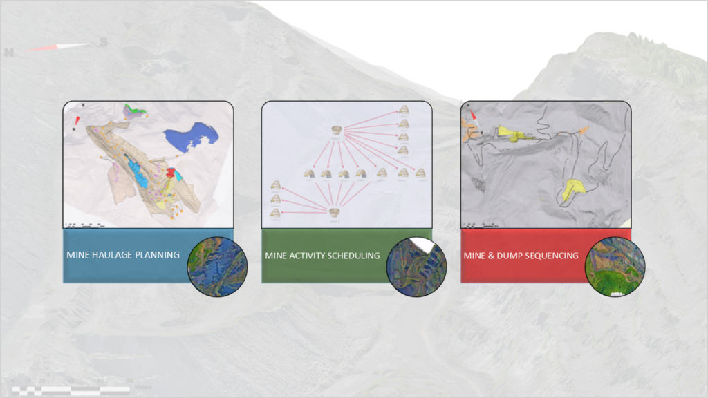
Featured Projects
View all
US San Juan Mine Seeding and Irrigation Project
Month-end Drone Survey and Volumes

Reclamation Planning and Tracking
Sheerness Mine Topsoil Placement

Surface Mine License Application

Surface Water Sampling
3-Month Mine Plan and Equipment Schedule
Obed Mountain Mine – Drone Seeding
Gregg River Mine – Pond Decommissioning
WestMET Sheerness – PACE Road Project
Coal Valley Mine – Reclamation
