Project
Ground and aerial surveys are essential to various mining, energy and reclamation projects delivering informative spatial solutions that support project planning, decision-making, and regulatory compliance. Advancements in the geospatial industry have made aerial data acquisition more convenient and accessible. However, unique operational constraints require innovative approaches while project survey/aerial imaging/inspection needs can range from daily, monthly, quarterly, etc. Capital expenditures, training and retention, maintaining current technology, and the temporary nature of projects are some of the other constraints WestMET’s clients have encountered. Overcoming these challenges requires highly experienced drone pilots with industry experience who can advise and support operations that are adapting to changing environmental conditions and evolving provincial and federal regulations. WestMET ERS is a trusted provider of survey services that support long-range and short-term projects across Alberta.
Solution
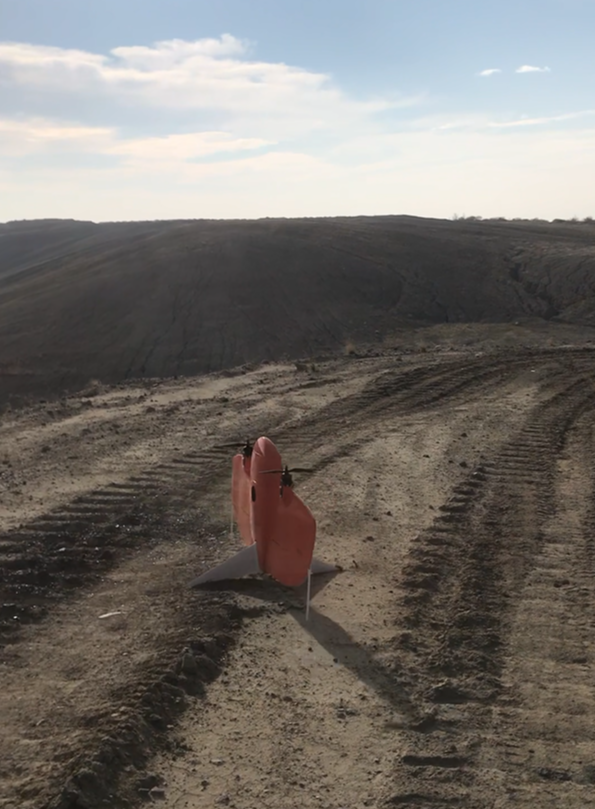
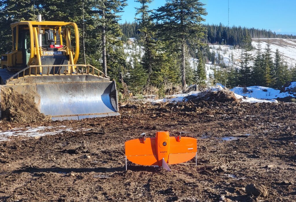
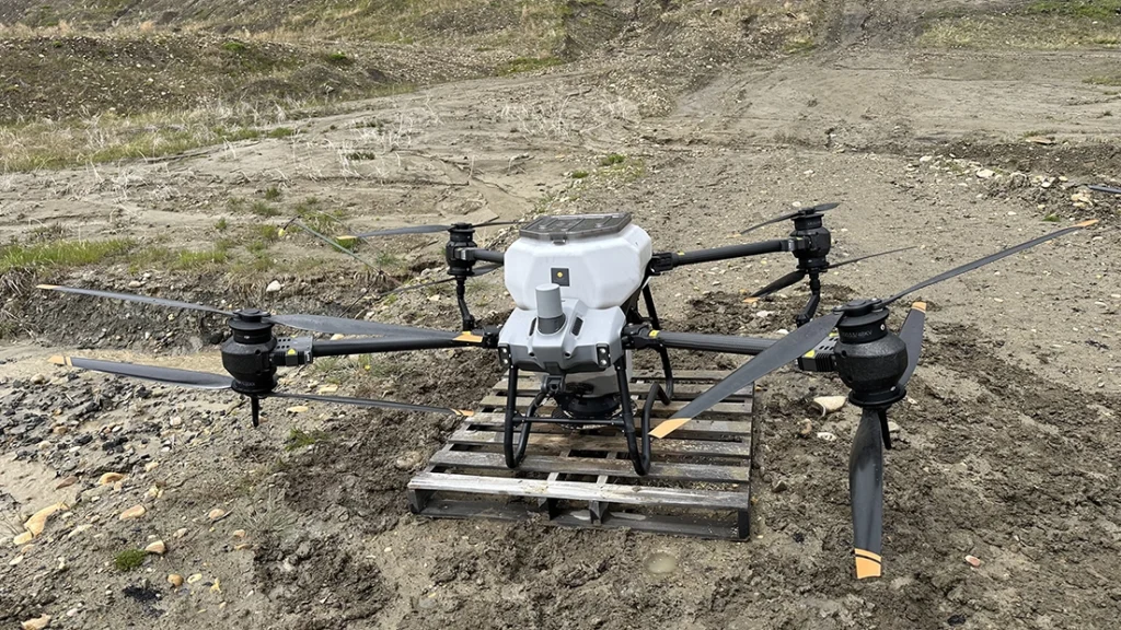
WestMET ERS drone pilots are fully licensed with advanced Remotely Piloted Aircraft System (RPAS) and providing drone services in difficult terrains and challenging weather conditions. The team is extensively trained utilizing a variety of drone platforms including Wingtra and eBee allowing for flexible and responsive survey solutions tailored to specific project needs, including month-end drone survey deliverables.
Result
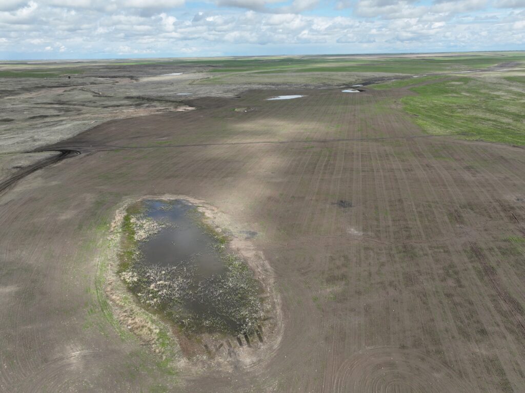
Spatial and temporal data collected by drone are processed using specialized drone processing software and spatial/GIS data modeler applications to generate high-quality maps and analytical outputs.
The final deliverables include:
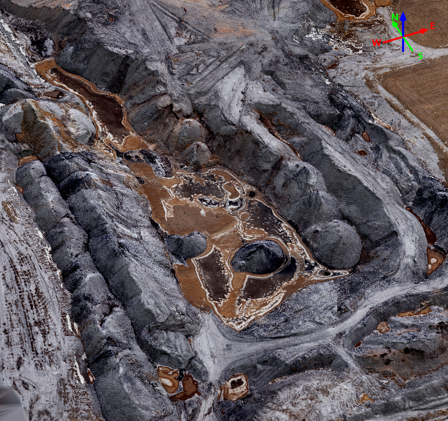
- Orthorectified Drone Images – a compilation of geometrically corrected and georeferenced mosaic images of project sites, presented in RGB color and with centimeter-level positional accuracy and pixel resolution.
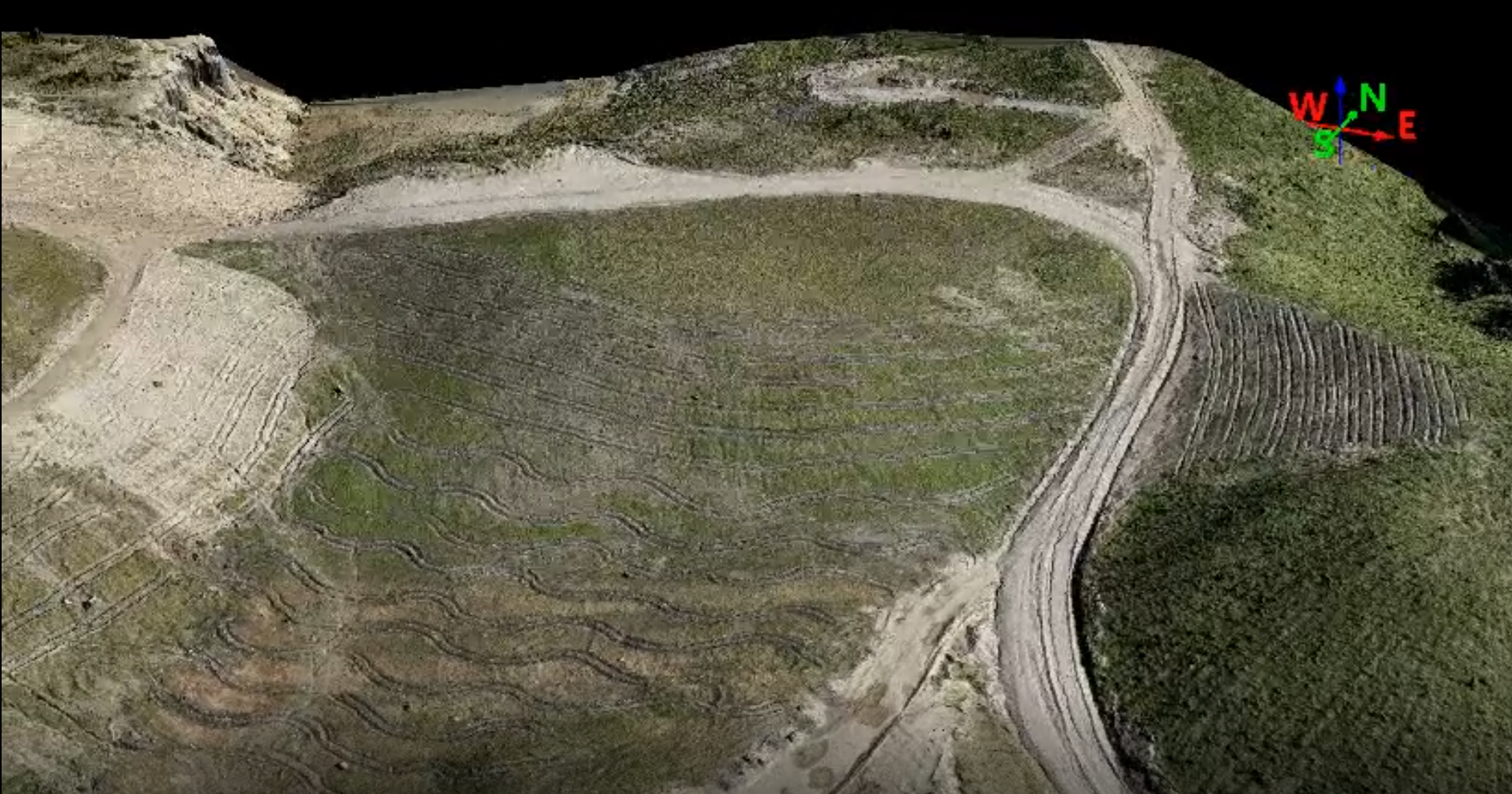
- Point Cloud Data – a collection of georeferenced 3D point clouds with corrected XY coordinates and point height.
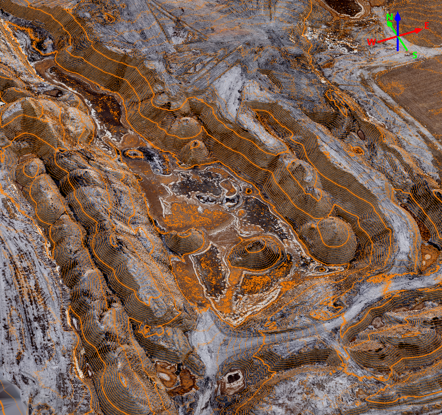
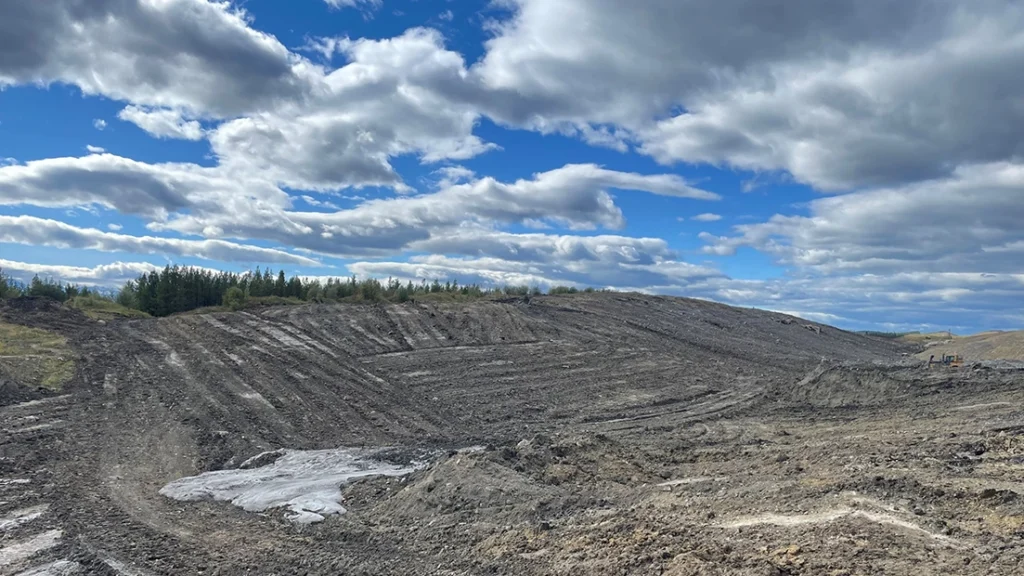
- Spatial GIS Data – processed point clouds into a Digital Surface Model (DSM), topographic contour lines, stockpile solids, and cross sections.
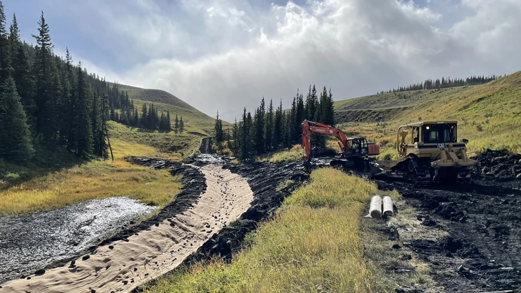
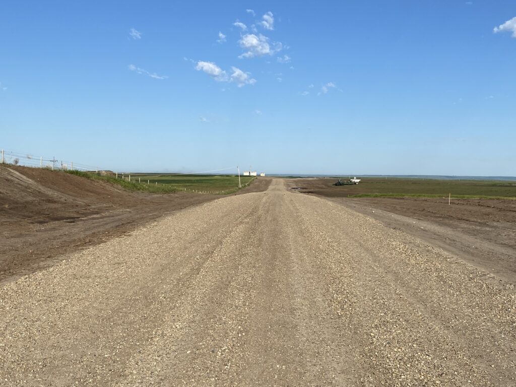
- Project Maps – provision of CAD maps illustrating site topography along with drone footage documenting project updates related to mine reclamation and decommissioning programs, site structures and road construction, and other associated activities.
Featured Projects
View all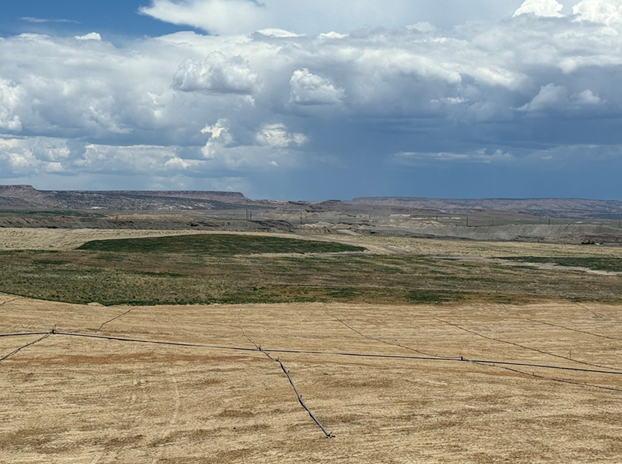
US San Juan Mine Seeding and Irrigation Project
Month-end Drone Survey and Volumes

Reclamation Planning and Tracking
Sheerness Mine Topsoil Placement

Surface Mine License Application

Surface Water Sampling
3-Month Mine Plan and Equipment Schedule
Obed Mountain Mine – Drone Seeding
Gregg River Mine – Pond Decommissioning
WestMET Sheerness – PACE Road Project
Coal Valley Mine – Reclamation
