Project
Sites such as Sheerness Mine, Paintearth Mine, and Obed Mountain Mine require reclamation plans and monthly tracking, along with both internal and external reporting of mine operations progress and KPI’s. Reclamation and tracking requirements are associated to the site-specific approvals related to legislation such as the Environmental Protection and Enhancement Act (EPEA).
Solution
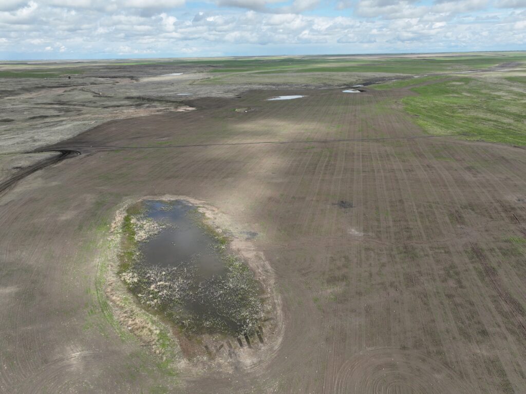
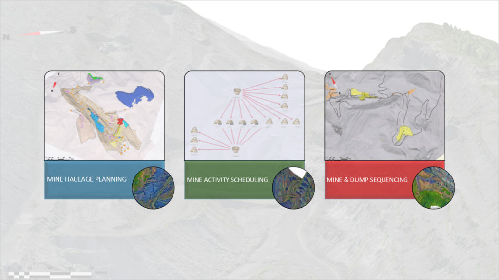
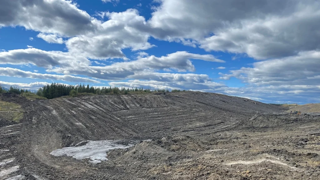
The WestMET ERS team has experience with making 3D dozer, hauling, and dragline levelling designs, soil haul plans with various fleets, and ensuring final vegetation is planted and established in a timely manner focused on achieving the targeted end land use.
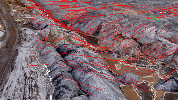
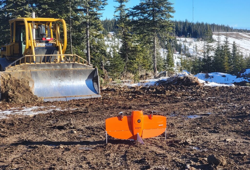
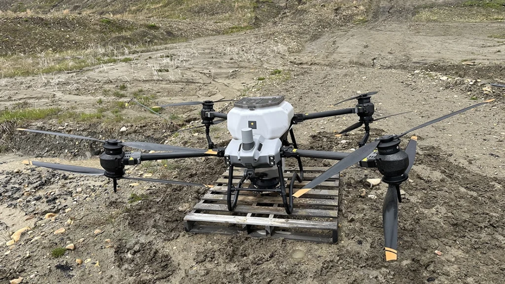
The team works with operations to coordinate reclamation progress maps, weekly KPI’s, and a month end survey with a UAV supporting this process. Reclamation plans can either be developed for the full scope of reclamation or any identified portion of it. Maps and reclamation statistics are compiled in reports for site operations and management review. These reports are also utilized for both internal liability tracking and regulator reporting as per the site’s Approval requirements.


Result
Reclamation planning and tracking is an ongoing process. Tracking is completed monthly, with proven accuracy and timeliness, which allows for the development of monthly and annual reports which are provided to management, and regulators as per Approval conditions.
Featured Projects
View all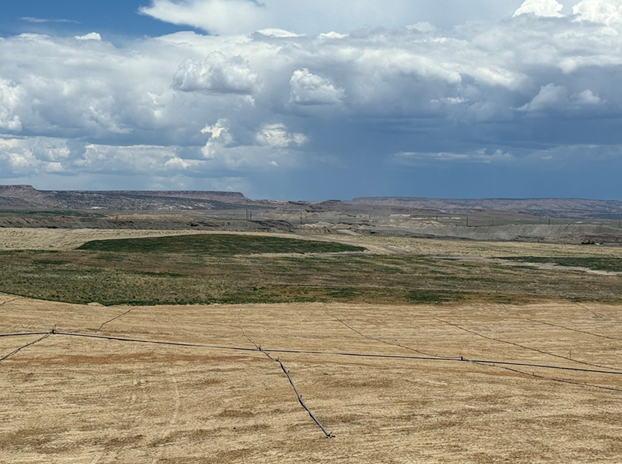
US San Juan Mine Seeding and Irrigation Project
Month-end Drone Survey and Volumes
Reclamation Planning and Tracking
Sheerness Mine Topsoil Placement

Surface Mine License Application

Surface Water Sampling
3-Month Mine Plan and Equipment Schedule
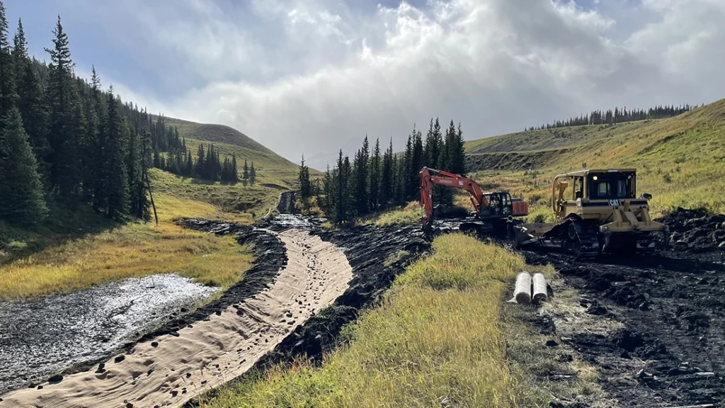
Obed Mountain Mine – Drone Seeding
Gregg River Mine – Pond Decommissioning
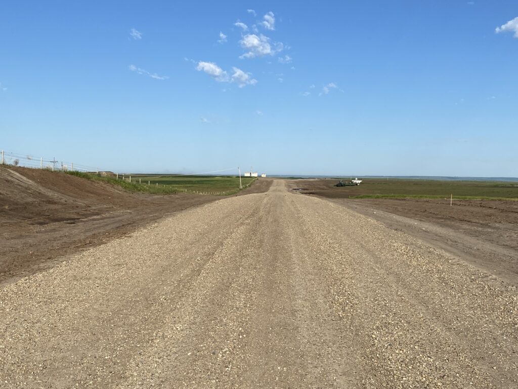
WestMET Sheerness – PACE Road Project
Coal Valley Mine – Reclamation
